Rivers Shape Civilizations
A free social studies worksheet ready for your classroom. Open in Kuraplan to grab the print-ready PDF, customize it for your students, or generate a fresh version in seconds.
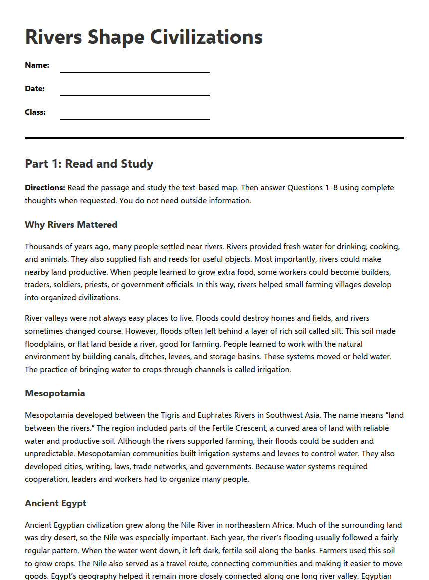
Rivers Shape Civilizations
Part 1: Read and Study
Directions: Read the passage and study the text-based map. Then answer Questions 1–8 using complete thoughts when requested. You do not need outside information.
Why Rivers Mattered
Thousands of years ago, many people settled near rivers. Rivers provided fresh water for drinking, cooking, and animals. They also supplied fish and reeds for useful objects. Most importantly, rivers could make nearby land productive. When people learned to grow extra food, some workers could become builders, traders, soldiers, priests, or government officials. In this way, rivers helped small farming villages develop into organized civilizations.
River valleys were not always easy places to live. Floods could destroy homes and fields, and rivers sometimes changed course. However, floods often left behind a layer of rich soil called silt. This soil made floodplains, or flat land beside a river, good for farming. People learned to work with the natural environment by building canals, ditches, levees, and storage basins. These systems moved or held water. The practice of bringing water to crops through channels is called irrigation.
Mesopotamia
Mesopotamia developed between the Tigris and Euphrates Rivers in Southwest Asia. The name means “land between the rivers.” The region included parts of the Fertile Crescent, a curved area of land with reliable water and productive soil. Although the rivers supported farming, their floods could be sudden and unpredictable. Mesopotamian communities built irrigation systems and levees to control water. They also developed cities, writing, laws, trade networks, and governments. Because water systems required cooperation, leaders and workers had to organize many people.
Ancient Egypt
Ancient Egyptian civilization grew along the Nile River in northeastern Africa. Much of the surrounding land was dry desert, so the Nile was especially important. Each year, the river’s flooding usually followed a fairly regular pattern. When the water went down, it left dark, fertile soil along the banks. Farmers used this soil to grow crops. The Nile also served as a travel route, connecting communities and making it easier to move goods. Egypt’s geography helped it remain more closely connected along one long river valley. Egyptian rulers, called pharaohs, directed farming, building, and government.
The Indus Valley
The Indus Valley civilization developed near the Indus River and its tributaries in South Asia. Farmers benefited from river water and fertile floodplains. The region also experienced seasonal monsoons, or winds that change direction during the year and can bring heavy rain. Monsoon rains helped supply water, but too much rain could cause flooding. Cities such as Harappa and Mohenjo-daro show careful planning. Their streets, wells, and drainage systems suggest that people organized water and waste management. River routes also supported farming and trade.
Ancient China
In ancient China, early civilization developed near the Huang He, or Yellow River, and later near other rivers. The Huang He carried fine yellow soil called loess, which could make farmland productive. However, floods were often dangerous and difficult to predict. People built embankments and worked together to manage the river. Farming communities grew into larger states. Over time, different ruling families formed dynasties, or lines of rulers from the same family. Rivers supported agriculture, transportation, and the growth of powerful governments, but mountains, deserts, and long distances also separated China from other regions.
Geography and Human Choices
These four civilizations were different, but geography influenced all of them. Rivers provided water, fertile land, transportation, and opportunities for trade. At the same time, floods, droughts, deserts, and seasonal rains created risks. People responded with technology and cooperation, including irrigation, drainage, levees, and organized governments. Geography did not completely determine what people would do. Instead, it created opportunities and challenges. The choices people made shaped their cities, economies, beliefs, and political systems.
Text-Based Geography Reference
Not to scale: West ← Mesopotamia: Tigris and Euphrates | Nile Valley: Nile River | Indus Valley: Indus River and monsoon region | Ancient China: Huang He → East
Climate clues: Mesopotamia—unpredictable floods; Egypt—regular flooding and surrounding desert; Indus Valley—seasonal monsoons; China—loess and dangerous floods.
Vocabulary Box
Fertile Crescent: A curved region of Southwest Asia with productive soil and important rivers.
Irrigation: The practice of bringing water to crops through channels or other systems.
Floodplain: Flat land beside a river that may receive water and rich soil during floods.
Monsoon: A seasonal wind pattern that can bring heavy rains.
Dynasty: A line of rulers from the same family.
Part 2: Comprehension and Geography Questions
Answer Key—Final Page
1. B. Rivers influenced farming, transportation, cooperation, and government in several ancient civilizations.
2. Irrigation means bringing water to crops through channels or other systems. Students may mention canals, ditches, levees, or storage basins.
3. Accept any two supported benefits, such as providing drinking water, fish, fertile soil, transportation, trade routes, or water for crops. A strong answer uses evidence from the passage.
4. Similarity: Both civilizations depended on river water and fertile soil for farming. Difference: Egypt’s Nile floods were usually regular and the river connected communities through a long valley, while Mesopotamia’s Tigris and Euphrates floods could be sudden and unpredictable, requiring systems such as levees and irrigation.
5. Possible answer: People built embankments, worked together to manage the river, and developed organized states and governments.
6. The Indus Valley civilization was most directly affected by seasonal monsoons. Monsoons provided helpful rain and water for farming, but heavy rains could also cause flooding.
7. Ancient China was farthest east. The Huang He carried loess, a fine yellow soil that made farmland productive. Accept “the Huang He” as the geographic feature if the student explains its connection to farming.
8. Answers should be 2–3 sentences and explain at least two specific river benefits. Possible answer: Rivers gave ancient people water for drinking and farming, and their floodplains often provided rich soil. Rivers also supported travel and trade, while managing floods encouraged cooperation and organized governments.
Vocabulary reference: Fertile Crescent—curved region with productive soil and rivers; irrigation—bringing water to crops; floodplain—flat land beside a river; monsoon—seasonal wind pattern that can bring heavy rain; dynasty—line of rulers from the same family.
About This Worksheet
Free in Kuraplan
Sign up free, grab the PDF, and customize it for your class.
Print-Ready
Formatted for standard paper. Clean layout, easy to read.
AI-Generated
Created with Kuraplan's AI, designed for real classroom use.
For Teachers & Parents
Use in classrooms, for homework, tutoring, or homeschool.
Need a custom version of this worksheet?
Kuraplan's AI generates custom worksheets in seconds — differentiated for every learner, aligned to your curriculum.
Generate Custom Worksheets — Free